都市構造可視化計画ウェブサイトv3(現行版)の「人の移動と都市構造の関係」はこちら
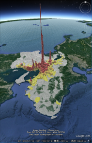
人の移動の出発地をみる
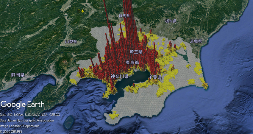
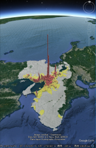
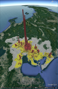
ここでは、東京都市圏、京阪神都市圏、中京都市圏、福岡都市圏における人の出発地を可視化しています。
交通量の多さを1kmメッシュの高さと色で表現しており、メッシュの高さが高く色が濃いところでは、活発に人が移動している可能性があるところを示しています。
実際の都市の様子をストリートビューでも確認してみましょう。
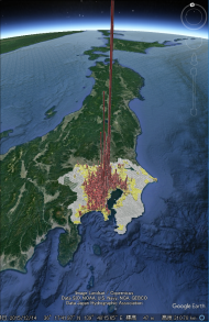
東京都市圏
京阪神都市圏
中京都市圏
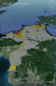
福岡都市圏
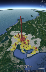
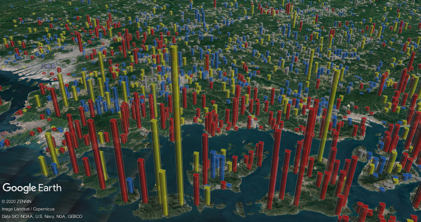
人の移動の目的地をみる
ここでは、東京都市圏、京阪神都市圏、中京都市圏、福岡都市圏における人の目的地を可視化しています。
交通量の多さを1kmメッシュの高さと色で表現しており、メッシュの高さが高く色が濃いところでは、活発に人が移動している可能性があるところを示しています。
実際の都市の様子をストリートビューでも確認してみましょう。
東京都市圏
京阪神都市圏
中京都市圏
福岡都市圏

質問と回答コーナー FAQに見当たらない質問はこちらから!